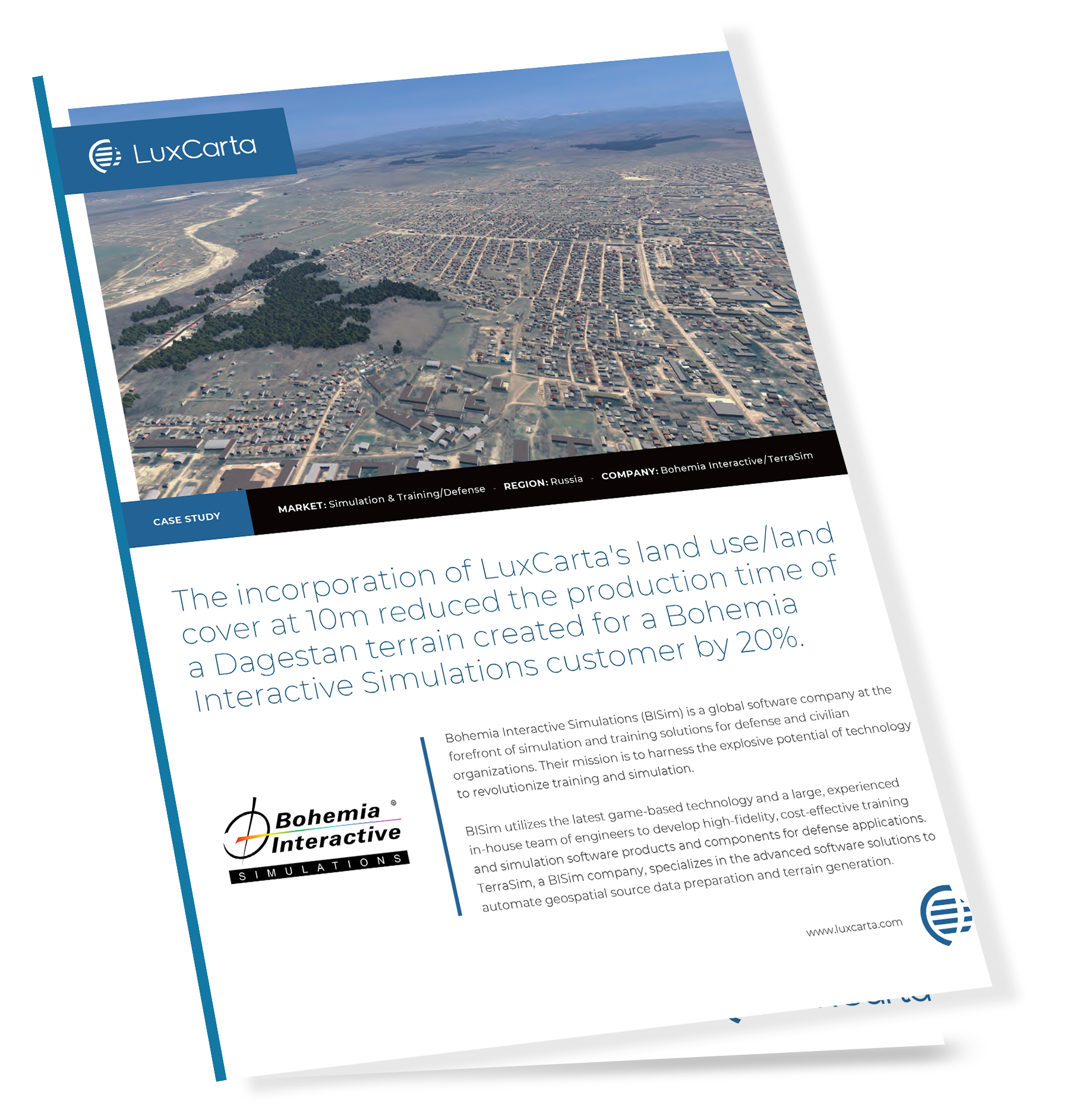
In our rapidly changing world, training simulations need to keep up with reality. And so the new connection between LuxCarta's BrightEarth and VBS4 from Bohemia Interactive Simulations helps you rapidly produce training environments that correspond as closely as possible to the situation on the ground.
LuxCarta uses the latest images of the Earth's surface from the Sentinel satellites, then uses AI to identify and extract 3D models of buildings, trees and other features. This data is then fed into VBS4 training environments to create up-to-date simulations of the real world.
In this case study, you will learn how our BrightEarth mapping technology connects with VBS4, and how it helps military planners, emergency services, airlines, commercial drivers and others to conduct training in realistic and timely scenarios.
Download the case study to learn:
What kinds of training scenarios this real-time mapping supports
How the connection between BrightEarth and VBS4 works
Why up-to-date training environments improve safety and security
Learn how BrightEarth's connection to VBS4 works, and how it benefits you.
Read the case study today.
